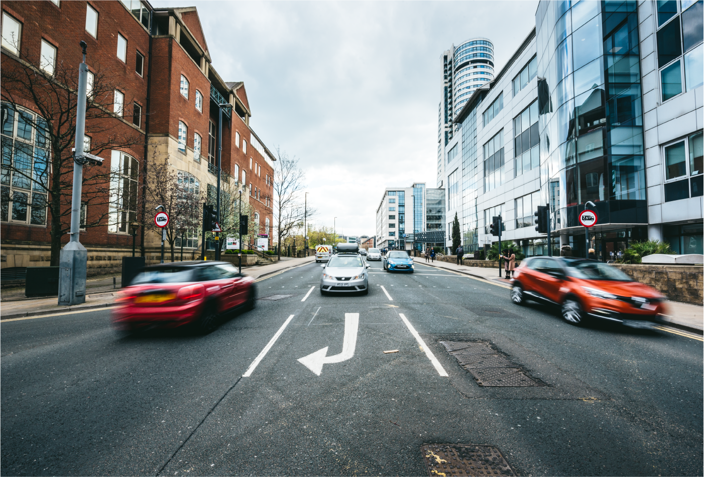


MobilityIn supplies new evidence and insights to deliver an in-depth understanding of mobility. It provides an unprecedented view into traffic behaviour to support infrastructure and transport development initiatives.
MobilityIn’s insights can help to support the creation of low traffic neighbourhoods, emissions studies, and the optimisation of transport models.
Our MobilityIn service presents a view of vehicle behaviour over every road. To deliver these insights, we study two specific areas: travel demand and the physical motion of vehicles.
Here, we examine the number of journeys taking place between locations and the routes taken to perform those journeys. Some of the factors we look at to understand travel demand include:

Estimated volume over every road

Measured proportion of trips through a given road that don’t start or end in the region
Traffic volume between two places

Flow and journey times between a user-defined network of virtual checkpoints

Journey routing path analysis of behaviours observed at intersections
MobilityIn can produce statistics for the travel patterns of vehicles through specific roads by aggregating millions of measurements of speed by location.
Unlike surveys that use fixed sensors (e.g. ANPR cameras or ATC pressure sensors), MobilityIn’s approach considers the full passage of a vehicle through a neighbourhood. This allows us to present our clients with a comprehensive view of mobility in that area, so the roads that are prone to rat-running and bottlenecks can be accurately identified.

There are a range of data available which can be examined here including:

Average, histograms or percentiles

Variability, histograms

Moving, accelerating, decelerating, queues, dwell time and vehicle idling
These outputs are delivered as tables so the client organisation can combine them with their existing data or perform subsequent analyses. We include summary figures that are designed to highlight the most interesting results. Alternatively, the MobilityIn service can provide additional, bespoke analysis to answer specific questions posed by users. This bespoke work can involve the generation of public-facing content, further summarisation, or creation of new metrics to tackle specific questions.
Firstly, we identify every tracked journey that has travelled through the region of interest during a particular period of time (e.g. one calendar year). An hour-by-hour picture of a typical week during the study period is then produced and we process each journey, noting the origin, destination, and all road sections involved in the trip. Finally, we combine all measurements from vehicle passages over a given section of road to produce an overall understanding of behaviour by location.

We use mobile vehicle monitoring to develop a deep understanding of actual driving behaviours exhibited on our roads

Quick and simple to get up and running, highly scalable solution and removes need for on-site surveys, minimising risks on the road

MobilityIn provides visibility of thoroughfare traffic and between fixed point sensors to understand traffic and mobility behaviours across the entire network

We work with a number of organisations including Local Authorities, Councils, Government agencies and leading academia to deliver an unprecedented view of mobility
The Floow works with the London borough of Lambeth to supply data regarding thoroughfare traffic within the borough.
These insights have been used to inform the consultation process around the implementation of a low traffic neighbourhood in the Oval Triangle, and help promote active travel in the area.
Read more

We are proud signatories of the EU Road Safety Charter. We actively explore new methods to introduce safer systems and reduce casualties on the world’s roads

Supporting DfT in a range of analysis related to national driver behaviours which supports evidential, policy, regulatory and investigative project works

Working to deliver insights which provide understanding and quantify mobility behaviours across the entire Royal Borough of Greenwich region.

Working as data partner in a range of transport consultancy and urban planning projects across the UK